 vesseltracker.com
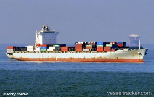
Vessel GIALOVA IMO: 9400306, MMSI: 636020589 Container Ship
UTC, 12.50832, 74.57588, course: 155, speed: 11.8
UTC, 12.11895, 74.72843, course: 160, speed: 12
2026-02-21 19:20:02 UTC, 11.92047, 74.81570, course: 157, speed: 12
Live AIS position:
UTC. 10 nm S of New Mangalore),
updated 2026-02-21 19:20:02 UTC.
Find the position of the vessel GIALOVA on the map. The latter are known coordinates and path.
marine traffic ship tracker show on live map
The current position of vessel GIALOVA is 11.92047 lat / 74.81570 lng. Updated: 2026-02-21 19:20:02 UTCCurrently sailing under the flag of Liberia
GIALOVA built in 2009 year
Deadweight:
50622 tDetails:
Last coordinates of the vessel:
UTC, 12.95148, 74.36818, course: 168, speed: 11.6UTC, 12.50832, 74.57588, course: 155, speed: 11.8
UTC, 12.11895, 74.72843, course: 160, speed: 12
2026-02-21 19:20:02 UTC, 11.92047, 74.81570, course: 157, speed: 12