 vesseltracker.com
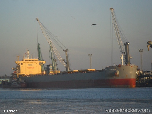
Vessel W JADE IMO: 9673513, MMSI: 636021864 Bulk Carrier
UTC, 17.75833, 66.49166, course: -1, speed: 12
UTC, 17.49833, 66.33333, course: -1, speed: 12
2026-02-24 13:04:54 UTC, 17.07167, 66.05500, course: -1, speed: 13
Live AIS position:
UTC. 335 nm SW of Veraval),
updated 2026-02-24 13:04:54 UTC.
Find the position of the vessel W JADE on the map. The latter are known coordinates and path.
marine traffic ship tracker show on live map
The current position of vessel W JADE is 17.07167 lat / 66.05500 lng. Updated: 2026-02-24 13:04:54 UTCCurrently sailing under the flag of Liberia
W JADE built in 2014 year
Deadweight:
75378 tDetails:
Last coordinates of the vessel:
UTC, 18.11833, 66.74500, course: -1, speed: 11UTC, 17.75833, 66.49166, course: -1, speed: 12
UTC, 17.49833, 66.33333, course: -1, speed: 12
2026-02-24 13:04:54 UTC, 17.07167, 66.05500, course: -1, speed: 13