 vesseltracker.com
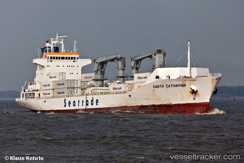
 SANTA CATHARINA
Current Status
Where is the vessel?
SANTA CATHARINA is currently in Near DICT / SVT, based on AIS data received about 2h ago.
Latest AIS update:
Current position: 7.29162° N, 125.71345° E (Near DICT / SVT)
Average speed (last 7 days): Loading…
Average speed (last 30 days): Loading…
Vessel profile: SANTA CATHARINA is a Reefer with dimensions m x m.
This page combines live AIS, route history, probable destination signals, nearby traffic, and port activity for practical vessel monitoring.
The current position of vessel SANTA CATHARINA is 7.29162 lat / 125.71345 lng. Updated: 2026-03-25 15:58:04 UTCNearest reference points:
- Near DICT / SVT
- Near Taganito
Currently sailing under the flag of Liberia ![]()
Details:
Live Vessel SANTA CATHARINA Analytics (details, animations, etc.)
Recent AIS points (UTC):
2026-03-25 09:31:04 UTC · 7.29166, 125.71345 · SOG 0 kn · COG 227°2026-03-25 11:52:04 UTC · 7.29162, 125.71344 · SOG 0 kn · COG 227°
2026-03-25 13:40:04 UTC · 7.29167, 125.71349 · SOG 0 kn · COG 227°
2026-03-25 15:58:04 UTC · 7.29162, 125.71345 · SOG 0 kn · COG 227°