 vesseltracker.com
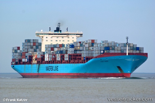
Vessel KOSTAS K IMO: 9260469, MMSI: 636023062 Container Ship
UTC, 29.78533, 122.02427, course: 46, speed: 0
UTC, 29.78542, 122.02423, course: 46, speed: 0
2026-03-21 17:27:25 UTC, 29.78543, 122.02427, course: 47, speed: 0
Live Vessel KOSTAS K Analytics (details, animations, etc.)
Live AIS position: UTC. Near Daxie Pt), updated 2026-03-21 17:27:25 UTC.Find the position of the vessel KOSTAS K on the map. The latter are known coordinates and path.
marine traffic ship tracker show on live map
The current position of vessel KOSTAS K is 29.78543 lat / 122.02427 lng. Updated: 2026-03-21 17:27:25 UTCCurrently sailing under the flag of Liberia
Details:
Last coordinates of the vessel:
UTC, 29.78542, 122.02427, course: 46, speed: 0UTC, 29.78533, 122.02427, course: 46, speed: 0
UTC, 29.78542, 122.02423, course: 46, speed: 0
2026-03-21 17:27:25 UTC, 29.78543, 122.02427, course: 47, speed: 0