 vesseltracker.com
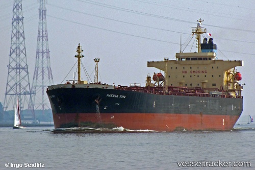
Vessel DINA F IMO: 9367750, MMSI: 636023114 Oil Products Tanker
UTC, 6.91592, -79.48351, course: 178, speed: 13.2
UTC, 6.39520, -79.50360, course: 180, speed: 12.5
2026-02-28 04:06:14 UTC, 5.89103, -79.52412, course: 180, speed: 12.1
Live AIS position:
UTC. 89 nm S of Hettimulla),
updated 2026-02-28 04:06:14 UTC.
Find the position of the vessel DINA F on the map. The latter are known coordinates and path.
marine traffic ship tracker show on live map
The current position of vessel DINA F is 5.89103 lat / -79.52412 lng. Updated: 2026-02-28 04:06:14 UTCCurrently sailing under the flag of Liberia
DINA F built in 0 year
Deadweight:
0 tDetails:
Last coordinates of the vessel:
UTC, 7.12906, -79.47780, course: 178, speed: 13.3UTC, 6.91592, -79.48351, course: 178, speed: 13.2
UTC, 6.39520, -79.50360, course: 180, speed: 12.5
2026-02-28 04:06:14 UTC, 5.89103, -79.52412, course: 180, speed: 12.1