 vesseltracker.com
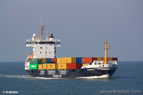
Vessel CHLOE D IMO: 9241190, MMSI: 636023227 Container Ship
UTC, 44.10433, 28.65952, course: 183, speed: 0
UTC, 44.10433, 28.65953, course: 183, speed: 0
2026-03-24 19:43:35 UTC, 44.10436, 28.65950, course: 183, speed: 0
Live Vessel CHLOE D Analytics (details, animations, etc.)
Live AIS position: UTC. Near Agigea), updated 2026-03-24 19:43:35 UTC.Find the position of the vessel CHLOE D on the map. The latter are known coordinates and path.
marine traffic ship tracker show on live map
The current position of vessel CHLOE D is 44.10436 lat / 28.65950 lng. Updated: 2026-03-24 19:43:35 UTCCurrently sailing under the flag of Liberia
Details:
Last coordinates of the vessel:
UTC, 44.10433, 28.65952, course: 183, speed: 0UTC, 44.10433, 28.65952, course: 183, speed: 0
UTC, 44.10433, 28.65953, course: 183, speed: 0
2026-03-24 19:43:35 UTC, 44.10436, 28.65950, course: 183, speed: 0