 vesseltracker.com
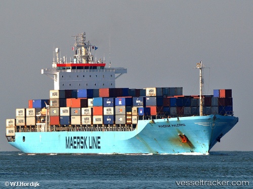
Vessel WANTAI IMO: 9168207, MMSI: 636024258 Container Ship
UTC, 20.34500, 70.96333, course: -1, speed: 0
UTC, 20.34333, 70.96167, course: -1, speed: 0
2026-03-20 14:05:04 UTC, 20.34393, 70.96176, course: 69, speed: 0.1
Live Vessel WANTAI Analytics (details, animations, etc.)
Live AIS position: UTC. 29 nm SE of Mul Dwårka), updated 2026-03-20 14:05:04 UTC.Find the position of the vessel WANTAI on the map. The latter are known coordinates and path.
marine traffic ship tracker show on live map
The current position of vessel WANTAI is 20.34393 lat / 70.96176 lng. Updated: 2026-03-20 14:05:04 UTCCurrently sailing under the flag of Liberia
Details:
Last coordinates of the vessel:
UTC, 20.34500, 70.96333, course: -1, speed: 0UTC, 20.34500, 70.96333, course: -1, speed: 0
UTC, 20.34333, 70.96167, course: -1, speed: 0
2026-03-20 14:05:04 UTC, 20.34393, 70.96176, course: 69, speed: 0.1