 vesseltracker.com
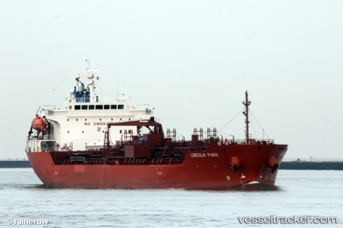
Vessel TG LEO IMO: 9640097, MMSI: 636024536 Oil/Chemical Tanker
UTC, -4.13088, 39.82557, course: 186, speed: 1
UTC, -4.09220, 39.82618, course: 162, speed: 0.9
2026-02-28 15:28:56 UTC, -4.07833, 39.82116, course: 167, speed: 1.1
Live AIS position:
UTC. Near Mombasa),
updated 2026-02-28 15:28:56 UTC.
Find the position of the vessel TG LEO on the map. The latter are known coordinates and path.
marine traffic ship tracker show on live map
The current position of vessel TG LEO is -4.07833 lat / 39.82116 lng. Updated: 2026-02-28 15:28:56 UTCCurrently sailing under the flag of Liberia
Details:
Last coordinates of the vessel:
UTC, -4.15018, 39.80719, course: 184, speed: 0.7UTC, -4.13088, 39.82557, course: 186, speed: 1
UTC, -4.09220, 39.82618, course: 162, speed: 0.9
2026-02-28 15:28:56 UTC, -4.07833, 39.82116, course: 167, speed: 1.1