 vesseltracker.com
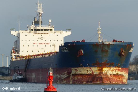
Vessel PACIFIC STAR IMO: 9470387, MMSI: 636024600 Bulk Carrier
UTC, -36.81347, 10.95906, course: 266, speed: 8.6
UTC, -36.78679, 10.57913, course: 275, speed: 9.4
2026-03-05 10:17:26 UTC, -36.70569, 10.23263, course: 279, speed: 8.8
Live Vessel PACIFIC STAR Analytics (details, animations, etc.)
Live AIS position: UTC. 231 nm W of Caufield North), updated 2026-03-05 10:17:26 UTC.Find the position of the vessel PACIFIC STAR on the map. The latter are known coordinates and path.
marine traffic ship tracker show on live map
The current position of vessel PACIFIC STAR is -36.70569 lat / 10.23263 lng. Updated: 2026-03-05 10:17:26 UTCCurrently sailing under the flag of Liberia
Details:
Last coordinates of the vessel:
UTC, -36.83346, 11.37987, course: 264, speed: 8.7UTC, -36.81347, 10.95906, course: 266, speed: 8.6
UTC, -36.78679, 10.57913, course: 275, speed: 9.4
2026-03-05 10:17:26 UTC, -36.70569, 10.23263, course: 279, speed: 8.8