 vesseltracker.com
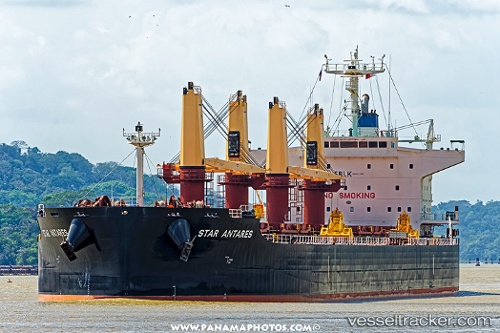
Vessel STAR ANTARES IMO: 9712694, MMSI: 636024682 Cargo
UTC, 32.08535, -46.35731, course: 55, speed: 8.3
UTC, 32.24331, -46.08357, course: 58, speed: 7.8
2026-03-24 12:21:37 UTC, 32.39199, -45.82396, course: 58, speed: 8.1
Live Vessel STAR ANTARES Analytics (details, animations, etc.)
Live AIS position: UTC. 164 nm W of Girard), updated 2026-03-24 12:21:37 UTC.Find the position of the vessel STAR ANTARES on the map. The latter are known coordinates and path.
marine traffic ship tracker show on live map
The current position of vessel STAR ANTARES is 32.39199 lat / -45.82396 lng. Updated: 2026-03-24 12:21:37 UTCCurrently sailing under the flag of Liberia
Details:
Last coordinates of the vessel:
UTC, 31.93396, -46.61431, course: 56, speed: 8.4UTC, 32.08535, -46.35731, course: 55, speed: 8.3
UTC, 32.24331, -46.08357, course: 58, speed: 7.8
2026-03-24 12:21:37 UTC, 32.39199, -45.82396, course: 58, speed: 8.1