 vesseltracker.com
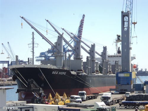
Vessel SEA HOPE IMO: 9713399, MMSI: 636024849 Cargo
UTC, 37.19032, 138.25311, course: 139, speed: 0
UTC, 37.19035, 138.25311, course: 139, speed: 0
2026-03-24 23:34:52 UTC, 37.19032, 138.25313, course: 139, speed: 0
Live Vessel SEA HOPE Analytics (details, animations, etc.)
Live AIS position: UTC. Near NAOETSU), updated 2026-03-24 23:34:52 UTC.Find the position of the vessel SEA HOPE on the map. The latter are known coordinates and path.
marine traffic ship tracker show on live map
The current position of vessel SEA HOPE is 37.19032 lat / 138.25313 lng. Updated: 2026-03-24 23:34:52 UTCCurrently sailing under the flag of Liberia
Details:
Last coordinates of the vessel:
UTC, 37.19031, 138.25316, course: 139, speed: 0UTC, 37.19032, 138.25311, course: 139, speed: 0
UTC, 37.19035, 138.25311, course: 139, speed: 0
2026-03-24 23:34:52 UTC, 37.19032, 138.25313, course: 139, speed: 0