 vesseltracker.com
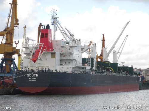
Vessel NOSTROMO IMO: 9513830, MMSI: 636024943 Bulk Carrier
UTC, -32.16673, -51.94004, course: 161, speed: 0.2
UTC, -32.16690, -51.94054, course: 143, speed: 0.1
2026-02-27 04:15:50 UTC, -32.16701, -51.94078, course: 142, speed: 0.2
Live AIS position:
UTC. Near Rio Grande),
updated 2026-02-27 04:15:50 UTC.
Find the position of the vessel NOSTROMO on the map. The latter are known coordinates and path.
marine traffic ship tracker show on live map
The current position of vessel NOSTROMO is -32.16701 lat / -51.94078 lng. Updated: 2026-02-27 04:15:50 UTCCurrently sailing under the flag of Liberia
Details:
Last coordinates of the vessel:
UTC, -32.16666, -51.93968, course: 176, speed: 0.4UTC, -32.16673, -51.94004, course: 161, speed: 0.2
UTC, -32.16690, -51.94054, course: 143, speed: 0.1
2026-02-27 04:15:50 UTC, -32.16701, -51.94078, course: 142, speed: 0.2