 vesseltracker.com
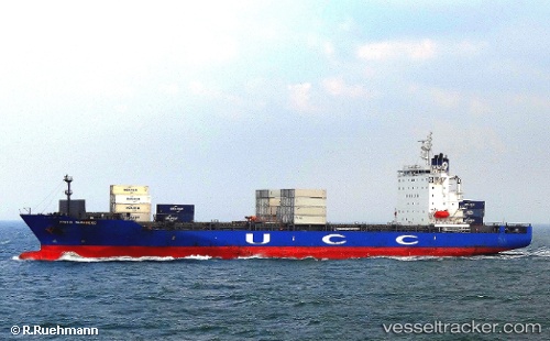
Vessel CONTSHIP ANA II IMO: 9470973, MMSI: 636025273 Container Ship
UTC, -15.71333, 61.17333, course: -1, speed: 13
UTC, -16.07429, 60.92558, course: 213, speed: 13.7
2026-02-28 15:39:33 UTC, -16.46652, 60.64241, course: 214, speed: 13.9
Live AIS position:
UTC. 250 nm NW of Port Mathurin),
updated 2026-02-28 15:39:33 UTC.
Find the position of the vessel CONTSHIP ANA II on the map. The latter are known coordinates and path.
marine traffic ship tracker show on live map
The current position of vessel CONTSHIP ANA II is -16.46652 lat / 60.64241 lng. Updated: 2026-02-28 15:39:33 UTCCurrently sailing under the flag of Liberia
Details:
Last coordinates of the vessel:
UTC, -15.28791, 61.48315, course: 213, speed: 13.2UTC, -15.71333, 61.17333, course: -1, speed: 13
UTC, -16.07429, 60.92558, course: 213, speed: 13.7
2026-02-28 15:39:33 UTC, -16.46652, 60.64241, course: 214, speed: 13.9