 vesseltracker.com
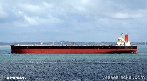
Vessel LILA KOCHI IMO: 9515436, MMSI: 636025407 Tanker
2026-03-25 02:01:51 UTC, 8.04587, 72.31068, course: 292, speed: 10.7
2026-03-25 03:57:41 UTC, 8.18167, 71.95500, course: -1, speed: 7
2026-03-25 05:33:41 UTC, 8.25667, 71.76667, course: -1, speed: 7
Live Vessel LILA KOCHI Analytics (details, animations, etc.)
Live AIS position: UTC. 125 nm NW of Kulhudhuffushi), updated 2026-03-25 05:33:41 UTC.Find the position of the vessel LILA KOCHI on the map. The latter are known coordinates and path.
marine traffic ship tracker show on live map
The current position of vessel LILA KOCHI is 8.25667 lat / 71.76667 lng. Updated: 2026-03-25 05:33:41 UTCNearest reference points:
- 130 nm W of Lakshadweep
- 119 nm SE of Tinaquillo
- 45 nm SW of Kalpeni Island
Currently sailing under the flag of Liberia
Details:
Last coordinates of the vessel:
2026-03-24 23:33:42 UTC, 7.89833, 72.72667, course: -1, speed: 102026-03-25 02:01:51 UTC, 8.04587, 72.31068, course: 292, speed: 10.7
2026-03-25 03:57:41 UTC, 8.18167, 71.95500, course: -1, speed: 7
2026-03-25 05:33:41 UTC, 8.25667, 71.76667, course: -1, speed: 7