 vesseltracker.com
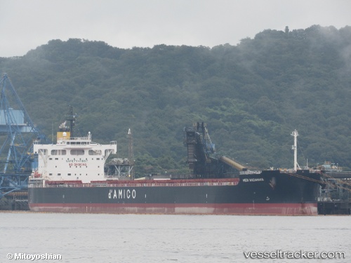
Vessel BELUGA IMO: 9764037, MMSI: 636025754 Cargo
UTC, 40.57833, 27.12500, course: -1, speed: 7
UTC, 40.46500, 26.83333, course: -1, speed: 7
2026-02-21 23:58:45 UTC, 40.25878, 26.50924, course: 229, speed: 12.9
Live AIS position:
UTC. Near Dardanelles),
updated 2026-02-21 23:58:45 UTC.
Find the position of the vessel BELUGA on the map. The latter are known coordinates and path.
marine traffic ship tracker show on live map
The current position of vessel BELUGA is 40.25878 lat / 26.50924 lng. Updated: 2026-02-21 23:58:45 UTCCurrently sailing under the flag of Liberia
Details:
Last coordinates of the vessel:
UTC, 40.70818, 27.46396, course: 244, speed: 9UTC, 40.57833, 27.12500, course: -1, speed: 7
UTC, 40.46500, 26.83333, course: -1, speed: 7
2026-02-21 23:58:45 UTC, 40.25878, 26.50924, course: 229, speed: 12.9