 vesseltracker.com
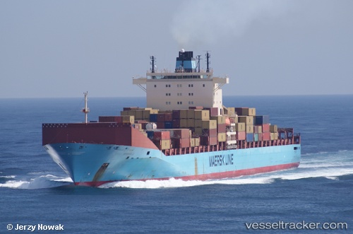
Vessel MSC RITA V IMO: 9313929, MMSI: 636025832 Container Ship
UTC, 33.90113, -7.53153, course: 254, speed: 1.2
UTC, 33.97924, -7.62533, course: 326, speed: 6.5
2026-02-28 09:47:26 UTC, 33.97078, -7.60992, course: 309, speed: 1.1
Live AIS position:
UTC. 19 nm NW of Mohammedia),
updated 2026-02-28 09:47:26 UTC.
Find the position of the vessel MSC RITA V on the map. The latter are known coordinates and path.
marine traffic ship tracker show on live map
The current position of vessel MSC RITA V is 33.97078 lat / -7.60992 lng. Updated: 2026-02-28 09:47:26 UTCCurrently sailing under the flag of Liberia
Details:
Last coordinates of the vessel:
UTC, 33.92409, -7.55248, course: 265, speed: 0.8UTC, 33.90113, -7.53153, course: 254, speed: 1.2
UTC, 33.97924, -7.62533, course: 326, speed: 6.5
2026-02-28 09:47:26 UTC, 33.97078, -7.60992, course: 309, speed: 1.1