 vesseltracker.com
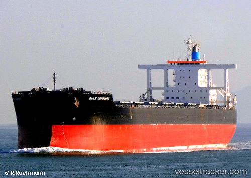
Vessel BRORA IMO: 9445772, MMSI: 636025919 Bulk Carrier
UTC, -33.04048, 29.86537, course: 69, speed: 11
UTC, -32.82896, 30.38640, course: 69, speed: 10.8
2026-02-26 13:40:07 UTC, -32.71361, 30.67551, course: 68, speed: 11.1
Live AIS position:
UTC. 87 nm SE of Port Saint John's),
updated 2026-02-26 13:40:07 UTC.
Find the position of the vessel BRORA on the map. The latter are known coordinates and path.
marine traffic ship tracker show on live map
The current position of vessel BRORA is -32.71361 lat / 30.67551 lng. Updated: 2026-02-26 13:40:07 UTCCurrently sailing under the flag of Liberia
Details:
Last coordinates of the vessel:
UTC, -33.20128, 29.45663, course: 65, speed: 10.7UTC, -33.04048, 29.86537, course: 69, speed: 11
UTC, -32.82896, 30.38640, course: 69, speed: 10.8
2026-02-26 13:40:07 UTC, -32.71361, 30.67551, course: 68, speed: 11.1