 vesseltracker.com
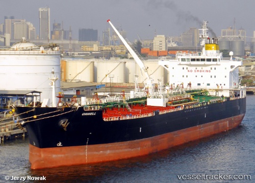
 ORWELL
Current Status
Where is the vessel?
ORWELL is currently in 18 nm NW of Ile D’Ouessant, based on AIS data received about 1h ago.
Latest AIS update:
Current position: 48.90595° N, 5.75645° W (18 nm NW of Ile D’Ouessant)
Average speed (last 7 days): Loading…
Average speed (last 30 days): Loading…
Vessel profile: ORWELL is a Oil/Chemical Tanker with dimensions m x m.
This page combines live AIS, route history, probable destination signals, nearby traffic, and port activity for practical vessel monitoring.
The current position of vessel ORWELL is 48.90595 lat / -5.75645 lng. Updated: 2026-03-26 03:27:36 UTCNearest reference points:
- 16 nm NW of Ile D’Ouessant
- 18 nm NE of Ile D’Ouessant
- 28 nm S of Porthgwarra
Currently sailing under the flag of Liberia ![]()
Details:
Live Vessel ORWELL Analytics (details, animations, etc.)
Recent AIS points (UTC):
2026-03-25 21:23:25 UTC · 49.41426, -4.46312 · SOG 9.3 kn · COG 239°2026-03-26 00:13:47 UTC · 49.17575, -5.07901 · SOG 10.4 kn · COG 231°
2026-03-26 01:56:25 UTC · 49.01594, -5.44095 · SOG 8.3 kn · COG 240°
2026-03-26 03:27:36 UTC · 48.90595, -5.75645 · SOG 11.3 kn · COG 238°