 vesseltracker.com
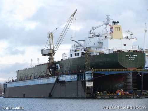
Vessel NAVIGATOR RIDGE IMO: 9321689, MMSI: 650630000 Crude Oil Tanker
UTC, 37.42220, 119.94701, course: 90, speed: 0
UTC, 37.42216, 119.94695, course: 90, speed: 0
2026-03-24 15:59:52 UTC, 37.42222, 119.94695, course: 90, speed: 0
Live Vessel NAVIGATOR RIDGE Analytics (details, animations, etc.)
Live AIS position: UTC. 11 nm NE of Taipingwan), updated 2026-03-24 15:59:52 UTC.Find the position of the vessel NAVIGATOR RIDGE on the map. The latter are known coordinates and path.
marine traffic ship tracker show on live map
The current position of vessel NAVIGATOR RIDGE is 37.42222 lat / 119.94695 lng. Updated: 2026-03-24 15:59:52 UTCCurrently sailing under the flag of Mozambique
Details:
Last coordinates of the vessel:
UTC, 37.42222, 119.94701, course: 90, speed: 0UTC, 37.42220, 119.94701, course: 90, speed: 0
UTC, 37.42216, 119.94695, course: 90, speed: 0
2026-03-24 15:59:52 UTC, 37.42222, 119.94695, course: 90, speed: 0