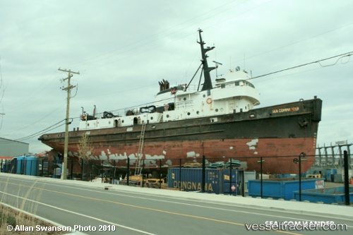
Sea Commander
Current StatusWhere is the vessel?
Sea Commander is currently in Near Victoria, based on AIS data received about 375d ago.
Latest AIS update:
Current position: 48.43056° N, 123.37573° W (Near Victoria)
Average speed (last 7 days): Loading…
Average speed (last 30 days): Loading…
Vessel profile: Sea Commander is a Tug with dimensions 10m x 44m.
This page combines live AIS, route history, probable destination signals, nearby traffic, and port activity for practical vessel monitoring.
The current position of vessel Sea Commander is 48.43056 lat / -123.37573 lng. Updated: 2025-05-14 07:02:20 UTCNearest reference points:
- Near Victoria
- Near ESQUIMALT
- Near North Saanich
Details:
Live Vessel Sea Commander Analytics (details, animations, etc.)
Recent AIS points (UTC):
2025-05-14 07:02:20 UTC · 48.43056, -123.37573 · SOG 0 kn · COG -1°