 vesseltracker.com
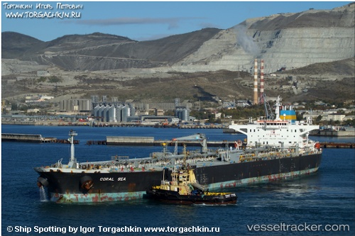
Vessel MATARI IMO: 9253313, MMSI: 667001281 Crude Oil Tanker
UTC, 39.73544, -9.84420, course: 0, speed: 12.8
UTC, 40.18393, -9.84717, course: 359, speed: 12.7
2026-03-25 02:26:01 UTC, 40.72212, -9.82703, course: 1, speed: 12.2
Live Vessel MATARI Analytics (details, animations, etc.)
Live AIS position: UTC. 47 nm W of Canas de Santa Maria), updated 2026-03-25 02:26:01 UTC.Find the position of the vessel MATARI on the map. The latter are known coordinates and path.
marine traffic ship tracker show on live map
The current position of vessel MATARI is 40.72212 lat / -9.82703 lng. Updated: 2026-03-25 02:26:01 UTCCurrently sailing under the flag of Sierra Leone
Details:
Last coordinates of the vessel:
UTC, 39.24495, -9.85596, course: 358, speed: 13UTC, 39.73544, -9.84420, course: 0, speed: 12.8
UTC, 40.18393, -9.84717, course: 359, speed: 12.7
2026-03-25 02:26:01 UTC, 40.72212, -9.82703, course: 1, speed: 12.2