 vesseltracker.com
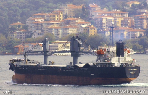
 PROSPERITY 105
Current Status
Where is the vessel?
PROSPERITY 105 is currently in Open sea, approx. 486 nm off the nearest listed port, based on AIS data received about 2h ago.
Latest AIS update:
Current position: 27.39966° N, 166.33400° W (Open sea, approx. 486 nm off the nearest listed port)
Average speed (last 7 days): Loading…
Average speed (last 30 days): Loading…
Vessel profile: PROSPERITY 105 is a Bulk Carrier with dimensions m x m.
This page combines live AIS, route history, probable destination signals, nearby traffic, and port activity for practical vessel monitoring.
The current position of vessel PROSPERITY 105 is 27.39966 lat / -166.33400 lng. Updated: 2026-03-25 07:51:37 UTCNearest reference points:
- Open sea, approx. 486 nm off the nearest listed port
- Open sea, approx. 497 nm off the nearest listed port
- Open sea, approx. 468 nm off the nearest listed port
Currently sailing under the flag of Sao Tome and Principe ![]()
Details:
Live Vessel PROSPERITY 105 Analytics (details, animations, etc.)
Recent AIS points (UTC):
2026-03-25 02:22:37 UTC · 27.24693, -165.46925 · SOG 8.1 kn · COG 279°2026-03-25 04:13:15 UTC · 27.28698, -165.75777 · SOG 8.4 kn · COG 287°
2026-03-25 05:43:53 UTC · 27.33923, -165.99481 · SOG 8.4 kn · COG 285°
2026-03-25 07:51:37 UTC · 27.39966, -166.33400 · SOG 8.9 kn · COG 285°