 vesseltracker.com
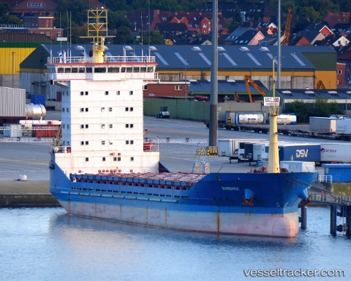
Vessel AMGU IMO: 9113226, MMSI: 671099100 General Cargo Ship
Live AIS position:
UTC. Near Nakhodka),
updated 2023-08-24 22:42:40 UTC.
Find the position of the vessel AMGU on the map. The latter are known coordinates and path.
marine traffic ship tracker show on live map
The current position of vessel AMGU is 42.83338 lat / 132.90945 lng. Updated: 2023-08-24 22:42:40 UTCCurrently sailing under the flag of Togo
AMGU built in 1997 year
Deadweight:
5910 tDetails:
Last coordinates of the vessel:
2023-08-24 22:42:40 UTC, 42.83338, 132.90945, course: -1, speed: 0.1