 vesseltracker.com
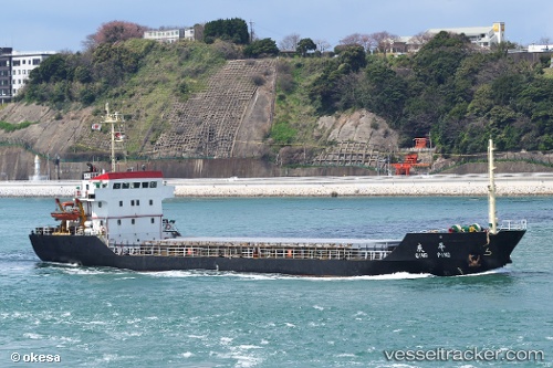
Vessel BATSA IMO: 9291937, MMSI: 671430100 Bulk Carrier
UTC, 24.17570, 58.42965, course: -1, speed: 4.8
UTC, 24.21774, 58.19467, course: -1, speed: 4.5
2026-03-15 19:27:44 UTC, 24.23095, 58.11015, course: -1, speed: 4.3
Live Vessel BATSA Analytics (details, animations, etc.)
Live AIS position: UTC. 39 nm NW of Fahal), updated 2026-03-15 19:27:44 UTC.Find the position of the vessel BATSA on the map. The latter are known coordinates and path.
marine traffic ship tracker show on live map
The current position of vessel BATSA is 24.23095 lat / 58.11015 lng. Updated: 2026-03-15 19:27:44 UTCCurrently sailing under the flag of Togo
Details:
Last coordinates of the vessel:
UTC, 24.13002, 58.60554, course: -1, speed: 4.4UTC, 24.17570, 58.42965, course: -1, speed: 4.8
UTC, 24.21774, 58.19467, course: -1, speed: 4.5
2026-03-15 19:27:44 UTC, 24.23095, 58.11015, course: -1, speed: 4.3