 vesseltracker.com
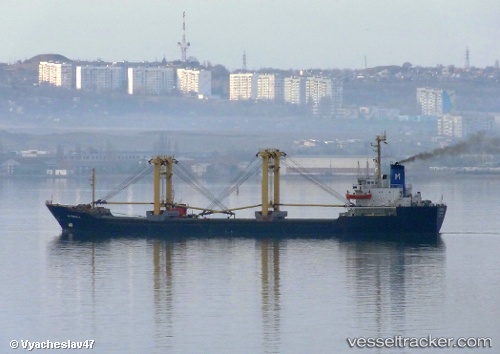
Vessel OMAYA IMO: 8408648, MMSI: 677028100 General Cargo
2026-03-25 02:24:43 UTC, 9.88833, -14.17167, course: -1, speed: 0
2026-03-25 03:48:48 UTC, 9.88833, -14.17167, course: -1, speed: 0
2026-03-25 05:18:51 UTC, 9.88833, -14.17167, course: -1, speed: 0
Live Vessel OMAYA Analytics (details, animations, etc.)
Live AIS position: UTC. 35 nm NW of Conakry), updated 2026-03-25 05:18:51 UTC.Find the position of the vessel OMAYA on the map. The latter are known coordinates and path.
marine traffic ship tracker show on live map
The current position of vessel OMAYA is 9.88833 lat / -14.17167 lng. Updated: 2026-03-25 05:18:51 UTCNearest reference points:
- 49 nm S of Port de Boké
- Near Conakry
- 14 nm S of Port de Boké
Currently sailing under the flag of Tanzania
Details:
Last coordinates of the vessel:
2026-03-24 23:48:56 UTC, 9.88872, -14.17252, course: -1, speed: 02026-03-25 02:24:43 UTC, 9.88833, -14.17167, course: -1, speed: 0
2026-03-25 03:48:48 UTC, 9.88833, -14.17167, course: -1, speed: 0
2026-03-25 05:18:51 UTC, 9.88833, -14.17167, course: -1, speed: 0