 vesseltracker.com
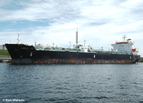
Vessel MD MIRANDA IMO: 9198290, MMSI: 677030000 Crude Oil Tanker
UTC, 42.95310, 132.36156, course: 143, speed: 17.8
UTC, 42.54667, 132.10667, course: -1, speed: 17
2026-03-24 23:57:37 UTC, 42.89333, 132.28500, course: -1, speed: 17
Live Vessel MD MIRANDA Analytics (details, animations, etc.)
Live AIS position: UTC. Near PODYAPOLSKIY), updated 2026-03-24 23:57:37 UTC.Find the position of the vessel MD MIRANDA on the map. The latter are known coordinates and path.
marine traffic ship tracker show on live map
The current position of vessel MD MIRANDA is 42.89333 lat / 132.28500 lng. Updated: 2026-03-24 23:57:37 UTCCurrently sailing under the flag of Tanzania
Details:
Last coordinates of the vessel:
UTC, 43.07167, 131.97501, course: -1, speed: 0UTC, 42.95310, 132.36156, course: 143, speed: 17.8
UTC, 42.54667, 132.10667, course: -1, speed: 17
2026-03-24 23:57:37 UTC, 42.89333, 132.28500, course: -1, speed: 17