 vesseltracker.com
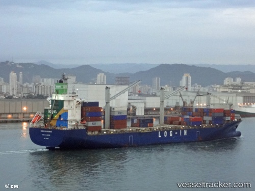
Vessel Log in Jacaranda IMO: 9471886, MMSI: 710006930 Container Ship
UTC, -26.92099, -48.56367, course: 120, speed: 6.2
UTC, -26.59808, -47.98504, course: 57, speed: 16.5
2026-03-19 09:43:31 UTC, -26.35949, -47.55396, course: 58, speed: 16.2
Live Vessel Log in Jacaranda Analytics (details, animations, etc.)
Live AIS position: UTC. 57 nm E of Balneário Barra do Sul), updated 2026-03-19 09:43:31 UTC.Find the position of the vessel Log in Jacaranda on the map. The latter are known coordinates and path.
marine traffic ship tracker show on live map
The current position of vessel Log in Jacaranda is -26.35949 lat / -47.55396 lng. Updated: 2026-03-19 09:43:31 UTCCurrently sailing under the flag of Brazil
Log in Jacaranda built in 2011 year
Deadweight:
37968 tDetails:
Last coordinates of the vessel:
UTC, -26.89816, -48.66071, course: 99, speed: 0.1UTC, -26.92099, -48.56367, course: 120, speed: 6.2
UTC, -26.59808, -47.98504, course: 57, speed: 16.5
2026-03-19 09:43:31 UTC, -26.35949, -47.55396, course: 58, speed: 16.2