 vesseltracker.com
Touareg
Current StatusWhere is the vessel?
Touareg is currently in Near Port de Fort-de-France Pt., based on AIS data received about 3h ago.
Latest AIS update:
Current position: 14.60130° N, 61.05880° W (Near Port de Fort-de-France Pt.)
Average speed (last 7 days): Loading…
Average speed (last 30 days): Loading…
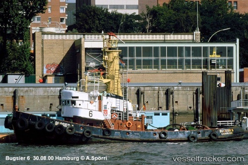
Vessel profile: Touareg is a Tug with dimensions 9m x 31m.
This page combines live AIS, route history, probable destination signals, nearby traffic, and port activity for practical vessel monitoring.
The current position of vessel Touareg is 14.60130 lat / -61.05880 lng. Updated: 2026-03-25 09:48:54 UTCNearest reference points:
- Near Fort De France
- Near LE MARIN
- Near Gros Islet
Details:
Live Vessel Touareg Analytics (details, animations, etc.)
Recent AIS points (UTC):
2026-03-25 03:55:44 UTC · 14.60136, -61.05877 · SOG 0 kn · COG -1°2026-03-25 06:05:45 UTC · 14.60132, -61.05879 · SOG 0 kn · COG -1°
2026-03-25 07:41:15 UTC · 14.60128, -61.05882 · SOG 0 kn · COG -1°
2026-03-25 09:48:54 UTC · 14.60130, -61.05880 · SOG 0 kn · COG -1°