 vesseltracker.com
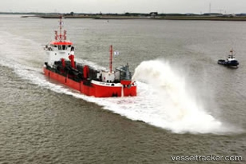
Vessel Seaford IMO: 7349388, MMSI: 312646000 Hopper Dredger
UTC, 5.69061, -57.78095, course: -1, speed: 8.4
UTC, 5.69061, -57.78095, course: -1, speed: 8.4
2026-02-24 04:33:37 UTC, 5.69061, -57.78095, course: -1, speed: 8.4
Live AIS position:
UTC. 35 nm SE of Mackenzie),
updated 2026-02-24 04:33:37 UTC.
Find the position of the vessel Seaford on the map. The latter are known coordinates and path.
marine traffic ship tracker show on live map
The current position of vessel Seaford is 5.69061 lat / -57.78095 lng. Updated: 2026-02-24 04:33:37 UTCDetails:
Last coordinates of the vessel:
UTC, 5.82454, -57.65758, course: -1, speed: 6.4UTC, 5.69061, -57.78095, course: -1, speed: 8.4
UTC, 5.69061, -57.78095, course: -1, speed: 8.4
2026-02-24 04:33:37 UTC, 5.69061, -57.78095, course: -1, speed: 8.4