 vesseltracker.com
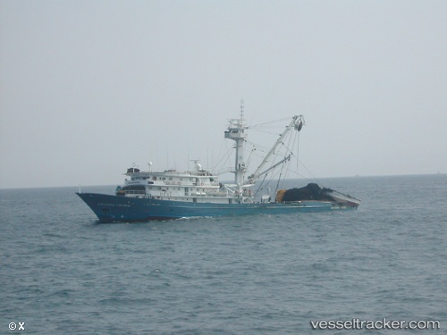
Vessel Guayatuna Dos IMO: 8111087, MMSI: 735059089 Fishing Vessel
UTC, 4.81526, -93.14821, course: 324, speed: 13.8
UTC, 4.81526, -93.14821, course: 324, speed: 13.8
2026-03-21 14:36:11 UTC, 4.81526, -93.14821, course: 324, speed: 13.8
Live Vessel Guayatuna Dos Analytics (details, animations, etc.)
Live AIS position: UTC. 170 nm NE of Sweeny), updated 2026-03-21 14:36:11 UTC.Find the position of the vessel Guayatuna Dos on the map. The latter are known coordinates and path.
marine traffic ship tracker show on live map
The current position of vessel Guayatuna Dos is 4.81526 lat / -93.14821 lng. Updated: 2026-03-21 14:36:11 UTCDetails:
Last coordinates of the vessel:
UTC, 4.77357, -93.10213, course: 307, speed: 13.6UTC, 4.81526, -93.14821, course: 324, speed: 13.8
UTC, 4.81526, -93.14821, course: 324, speed: 13.8
2026-03-21 14:36:11 UTC, 4.81526, -93.14821, course: 324, speed: 13.8