 vesseltracker.com
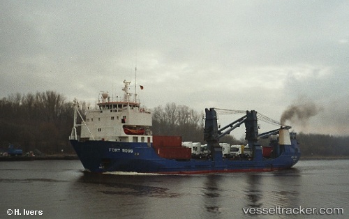
Vessel FUSION IMO: 7528520, MMSI: 735059361 General Cargo Ship
Live AIS position:
UTC. 270 nm SW of Makala),
updated 2024-12-14 03:41:46 UTC.
Find the position of the vessel FUSION on the map. The latter are known coordinates and path.
marine traffic ship tracker show on live map
The current position of vessel FUSION is -0.54137 lat / 21.71293 lng. Updated: 2024-12-14 03:41:46 UTCCurrently sailing under the flag of Ecuador
FUSION built in 1977 year
Deadweight:
3300 tDetails:
Last coordinates of the vessel:
2024-12-14 03:41:46 UTC, -0.54137, 21.71293, course: 156, speed: 8.4