 vesseltracker.com
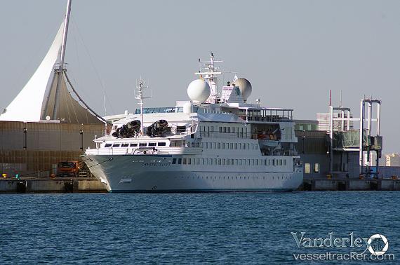
 NAT GEO ISLANDER 2
Current Status
Where is the vessel?
NAT GEO ISLANDER 2 is currently in 21 nm NW of Caleta Tagus, based on AIS data received about 1h ago.
Latest AIS update:
Current position: 0.00449° S, 91.61414° W (21 nm NW of Caleta Tagus)
Average speed (last 7 days): Loading…
Average speed (last 30 days): Loading…
Vessel profile: NAT GEO ISLANDER 2 is a Passenger with dimensions m x m.
This page combines live AIS, route history, probable destination signals, nearby traffic, and port activity for practical vessel monitoring.
The current position of vessel NAT GEO ISLANDER 2 is -0.00449 lat / -91.61414 lng. Updated: 2026-03-25 13:25:01 UTCNearest reference points:
- 16 nm NW of Puerto Egas
- Near Puerto Egas
- 12 nm SW of Puerto Villamil, Isla Isabela
Details:
Live Vessel NAT GEO ISLANDER 2 Analytics (details, animations, etc.)
Recent AIS points (UTC):
2026-03-25 07:23:44 UTC · -0.01434, -91.16057 · SOG 9.9 kn · COG 326°2026-03-25 09:31:05 UTC · 0.21328, -91.41735 · SOG 10.2 kn · COG 294°
2026-03-25 12:16:02 UTC · 0.18598, -91.62538 · SOG 10 kn · COG 185°
2026-03-25 13:25:01 UTC · -0.00449, -91.61414 · SOG 10.2 kn · COG 148°