 vesseltracker.com
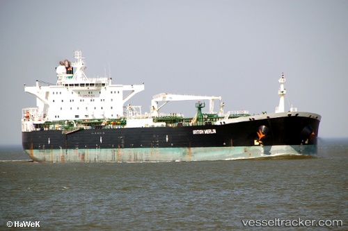
Vessel UMA IMO: 9258870, MMSI: 750057000 Crude Oil Tanker
UTC, 23.84833, 60.07833, course: -1, speed: 8
UTC, 23.94500, 59.80333, course: -1, speed: 8
2026-03-24 21:53:35 UTC, 24.06667, 59.52833, course: -1, speed: 8
Live Vessel UMA Analytics (details, animations, etc.)
Live AIS position: UTC. 56 nm NE of Port Sultan), updated 2026-03-24 21:53:35 UTC.Find the position of the vessel UMA on the map. The latter are known coordinates and path.
marine traffic ship tracker show on live map
The current position of vessel UMA is 24.06667 lat / 59.52833 lng. Updated: 2026-03-24 21:53:35 UTCDetails:
Last coordinates of the vessel:
UTC, 23.75833, 60.39333, course: -1, speed: 8UTC, 23.84833, 60.07833, course: -1, speed: 8
UTC, 23.94500, 59.80333, course: -1, speed: 8
2026-03-24 21:53:35 UTC, 24.06667, 59.52833, course: -1, speed: 8