 vesseltracker.com
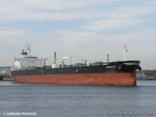
 MANISA
Current Status
Where is the vessel?
MANISA is currently in 89 nm N of Massawa, based on AIS data received about 1h ago.
Latest AIS update:
Current position: 17.03500° N, 39.88333° E (89 nm N of Massawa)
Average speed (last 7 days): Loading…
Average speed (last 30 days): Loading…
Vessel profile: MANISA is a Crude Oil Tanker with dimensions m x m.
This page combines live AIS, route history, probable destination signals, nearby traffic, and port activity for practical vessel monitoring.
The current position of vessel MANISA is 17.03500 lat / 39.88333 lng. Updated: 2026-03-25 08:00:00 UTCNearest reference points:
- 92 nm SW of Al Qahmah
- 99 nm SW of Al Qunfudah
- 81 nm NW of As Salif
Details:
Live Vessel MANISA Analytics (details, animations, etc.)
Recent AIS points (UTC):
2026-03-25 01:21:02 UTC · 17.03667, 39.88667 · SOG 0 kn · COG -1°2026-03-25 04:04:06 UTC · 17.03638, 39.88551 · SOG 0 kn · COG -1°
2026-03-25 05:58:07 UTC · 17.03620, 39.88510 · SOG 0 kn · COG -1°
2026-03-25 08:00:00 UTC · 17.03500, 39.88333 · SOG 0 kn · COG -1°