 vesseltracker.com
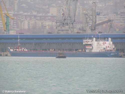
Vessel Na Cholita IMO: 7801881, MMSI: 755003694 General Cargo Ship
UTC, -28.39778, -59.06629, course: -1, speed: 5.5
UTC, -28.21726, -59.08376, course: -1, speed: 5.5
2026-03-01 13:44:55 UTC, -28.14293, -59.01070, course: -1, speed: 5.2
Live AIS position:
UTC. 40 nm W of Tabay),
updated 2026-03-01 13:44:55 UTC.
Find the position of the vessel Na Cholita on the map. The latter are known coordinates and path.
marine traffic ship tracker show on live map
The current position of vessel Na Cholita is -28.14293 lat / -59.01070 lng. Updated: 2026-03-01 13:44:55 UTCDetails:
Last coordinates of the vessel:
UTC, -28.54116, -59.07848, course: -1, speed: 4.6UTC, -28.39778, -59.06629, course: -1, speed: 5.5
UTC, -28.21726, -59.08376, course: -1, speed: 5.5
2026-03-01 13:44:55 UTC, -28.14293, -59.01070, course: -1, speed: 5.2