 vesseltracker.com
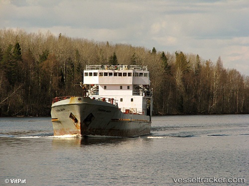
Vessel Vasiliy Malov IMO: 7612486, MMSI: 273324400 General Cargo Ship
UTC, 44.74167, 136.31667, course: -1, speed: 0
UTC, 44.74167, 136.31667, course: -1, speed: 0
2026-03-24 11:21:56 UTC, 44.74167, 136.31667, course: -1, speed: 0
Live Vessel Vasiliy Malov Analytics (details, animations, etc.)
Live AIS position: UTC. Near PLASTUN), updated 2026-03-24 11:21:56 UTC.Find the position of the vessel Vasiliy Malov on the map. The latter are known coordinates and path.
marine traffic ship tracker show on live map
The current position of vessel Vasiliy Malov is 44.74167 lat / 136.31667 lng. Updated: 2026-03-24 11:21:56 UTCDetails:
Last coordinates of the vessel:
UTC, 44.74167, 136.31667, course: -1, speed: 0UTC, 44.74167, 136.31667, course: -1, speed: 0
UTC, 44.74167, 136.31667, course: -1, speed: 0
2026-03-24 11:21:56 UTC, 44.74167, 136.31667, course: -1, speed: 0