 vesseltracker.com
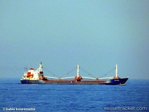
Vessel Ilke Mete IMO: 8202965, MMSI: 271000433 General Cargo Ship
Live AIS position:
UTC. Near TUZLA),
updated 2022-11-08 12:57:59 UTC.
Find the position of the vessel Ilke Mete on the map. The latter are known coordinates and path.
marine traffic ship tracker show on live map
The current position of vessel Ilke Mete is 40.85153 lat / 29.28813 lng. Updated: 2022-11-08 12:57:59 UTCCurrently sailing under the flag of Turkey
Ilke Mete built in 1990 year
Deadweight:
4662 tDetails:
Last coordinates of the vessel:
2022-11-08 12:57:59 UTC, 40.85153, 29.28813, course: 0, speed: 0.1