 vesseltracker.com
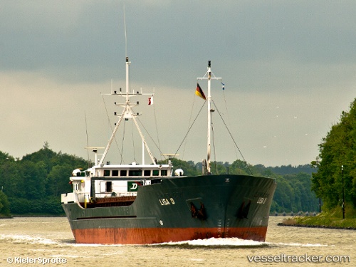
 Lisa D
Current Status
Where is the vessel?
Lisa D is currently in 17 nm N of Glesborg, based on AIS data received about 1h ago.
Latest AIS update:
Current position: 56.76004° N, 10.79511° E (17 nm N of Glesborg)
Average speed (last 7 days): Loading…
Average speed (last 30 days): Loading…
Vessel profile: Lisa D is a General Cargo Ship with dimensions 74m x 12m.
This page combines live AIS, route history, probable destination signals, nearby traffic, and port activity for practical vessel monitoring.
The current position of vessel Lisa D is 56.76004 lat / 10.79511 lng. Updated: 2026-03-25 18:19:55 UTCNearest reference points:
- Near Glesborg
- Near Grena
- 19 nm E of Sæby
Currently sailing under the flag of Antigua Barbuda ![]()
Lisa D built in 1984 year
Deadweight:
1685 tDetails:
Live Vessel Lisa D Analytics (details, animations, etc.)
Recent AIS points (UTC):
2026-03-25 11:42:08 UTC · 57.05541, 10.04861 · SOG 0 kn · COG 306°2026-03-25 14:17:40 UTC · 57.05540, 10.04863 · SOG 0 kn · COG 306°
2026-03-25 15:49:33 UTC · 56.98577, 10.26654 · SOG 10.1 kn · COG 74°
2026-03-25 18:19:55 UTC · 56.76004, 10.79511 · SOG 7.2 kn · COG 153°