 vesseltracker.com
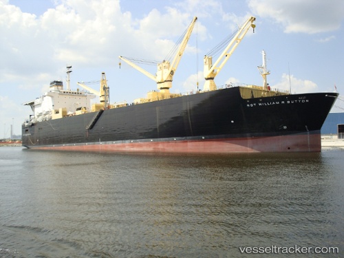
Vessel Us. Gov. Vessel IMO: 8302466, MMSI: 367370000 Vehicles Carrier
UTC, 30.40083, -81.52402, course: -1, speed: 0
UTC, 30.40071, -81.52398, course: -1, speed: 0
2026-03-02 16:01:29 UTC, 30.40076, -81.52396, course: 123, speed: 0
Live AIS position:
UTC. Near Blount Island),
updated 2026-03-02 16:01:29 UTC.
Find the position of the vessel Us. Gov. Vessel on the map. The latter are known coordinates and path.
marine traffic ship tracker show on live map
The current position of vessel Us. Gov. Vessel is 30.40076 lat / -81.52396 lng. Updated: 2026-03-02 16:01:29 UTCDetails:
Last coordinates of the vessel:
UTC, 30.40076, -81.52400, course: -1, speed: 0UTC, 30.40083, -81.52402, course: -1, speed: 0
UTC, 30.40071, -81.52398, course: -1, speed: 0
2026-03-02 16:01:29 UTC, 30.40076, -81.52396, course: 123, speed: 0