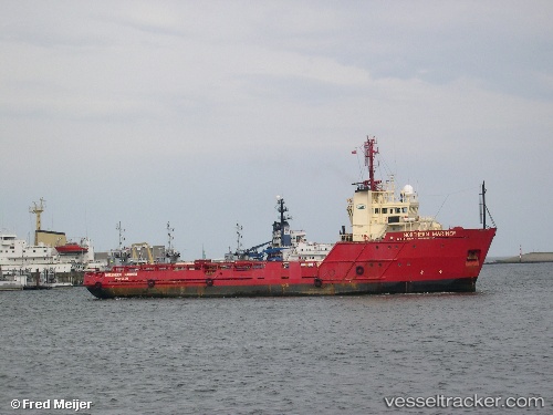
vesseltracker.com
Vessel '677018700' IMO: 8507107, MMSI: 677018700
UTC, 9.91047, -14.41191, course: 27, speed: 0
UTC, 9.91053, -14.41198, course: 29, speed: 0.1
2026-02-12 14:03:47 UTC, 9.91057, -14.41201, course: 28, speed: 0
Live AIS position:
UTC. 41 nm SE of Port de Boké),
updated 2026-02-12 14:03:47 UTC.
Find the position of the vessel '677018700' on the map. The latter are known coordinates and path.
marine traffic ship tracker show on live map
The current position of vessel '677018700' is 9.91057 lat / -14.41201 lng. Updated: 2026-02-12 14:03:47 UTCDetails:
Last coordinates of the vessel:
UTC, 9.91047, -14.41189, course: 26, speed: 0UTC, 9.91047, -14.41191, course: 27, speed: 0
UTC, 9.91053, -14.41198, course: 29, speed: 0.1
2026-02-12 14:03:47 UTC, 9.91057, -14.41201, course: 28, speed: 0