 vesseltracker.com
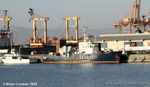
Vessel FLEUR DU CAP IMO: 8650734, MMSI: 370075000 Utility Vessel
Live Vessel FLEUR DU CAP Analytics (details, animations, etc.)
Live AIS position: UTC. Near SALDANHA), updated 2024-11-25 08:15:00 UTC.Find the position of the vessel FLEUR DU CAP on the map. The latter are known coordinates and path.
marine traffic ship tracker show on live map
The current position of vessel FLEUR DU CAP is -33.02591 lat / 17.96086 lng. Updated: 2024-11-25 08:15:00 UTCCurrently sailing under the flag of Panama
FLEUR DU CAP built in 1969 year
Deadweight:
0 tDetails:
Last coordinates of the vessel:
2024-11-25 08:15:00 UTC, -33.02591, 17.96086, course: 224, speed: 0