 vesseltracker.com
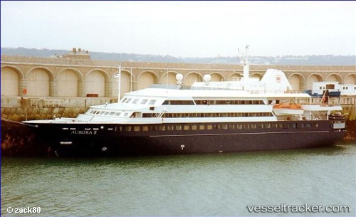
Vessel DOULOS HOPE IMO: 8705278, MMSI: 256447000 Passengers Ship
UTC, -18.32196, 178.30965, course: 31, speed: 4.9
UTC, -18.13383, 178.40649, course: 80, speed: 5.5
2026-03-24 21:25:05 UTC, -18.13500, 178.42332, course: -1, speed: 0
Live Vessel DOULOS HOPE Analytics (details, animations, etc.)
Live AIS position: UTC. Near Suva), updated 2026-03-24 21:25:05 UTC.Find the position of the vessel DOULOS HOPE on the map. The latter are known coordinates and path.
marine traffic ship tracker show on live map
The current position of vessel DOULOS HOPE is -18.13500 lat / 178.42332 lng. Updated: 2026-03-24 21:25:05 UTCCurrently sailing under the flag of Malta
Details:
Last coordinates of the vessel:
UTC, -18.46525, 178.19032, course: 69, speed: 8.3UTC, -18.32196, 178.30965, course: 31, speed: 4.9
UTC, -18.13383, 178.40649, course: 80, speed: 5.5
2026-03-24 21:25:05 UTC, -18.13500, 178.42332, course: -1, speed: 0