 vesseltracker.com
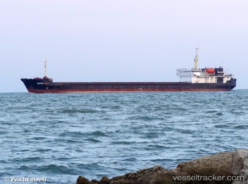
Vessel VOLGA 4007 IMO: 8728816, MMSI: 518100106 General Cargo Ship
Live AIS position:
UTC. 10 nm SE of Taman'),
updated 2026-01-30 09:34:00 UTC.
Find the position of the vessel VOLGA 4007 on the map. The latter are known coordinates and path.
marine traffic ship tracker show on live map
The current position of vessel VOLGA 4007 is 45.07371 lat / 36.84532 lng. Updated: 2026-01-30 09:34:00 UTCCurrently sailing under the flag of Cook Islands
VOLGA 4007 built in 1989 year
Deadweight:
6277 tDetails:
Last coordinates of the vessel:
2026-01-30 09:34:00 UTC, 45.07371, 36.84532, course: 104, speed: 5.5