 vesseltracker.com
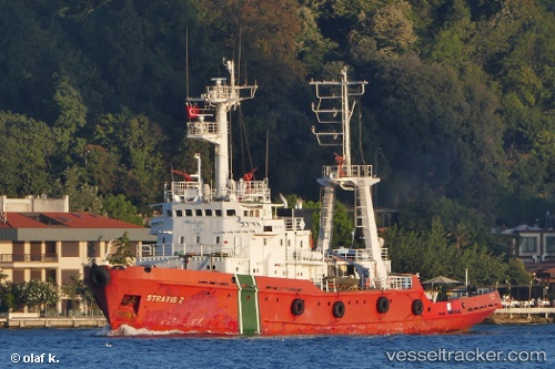
Vessel AKHTIAR IMO: 8729107, MMSI: 213512000 Tug
Live AIS position:
UTC. Near Batumi),
updated 2025-12-29 15:33:54 UTC.
Find the position of the vessel AKHTIAR on the map. The latter are known coordinates and path.
marine traffic ship tracker show on live map
The current position of vessel AKHTIAR is 41.65066 lat / 41.64483 lng. Updated: 2025-12-29 15:33:54 UTCCurrently sailing under the flag of Georgia
AKHTIAR built in 1989 year
Deadweight:
391 tDetails:
Last coordinates of the vessel:
2025-12-29 15:33:54 UTC, 41.65066, 41.64483, course: -1, speed: 0.7