 vesseltracker.com
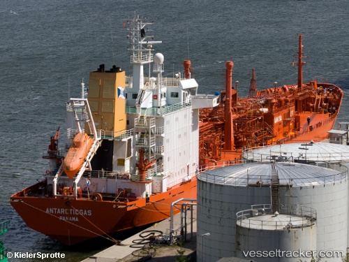
Vessel GAS NORA IMO: 8813116, MMSI: 268245700 Lpg Tanker
UTC, 18.75044, 72.51755, course: 296, speed: 0.1
UTC, 18.75032, 72.51739, course: 307, speed: 0.1
2026-03-24 12:01:06 UTC, 18.75027, 72.51759, course: -1, speed: 0
Live Vessel GAS NORA Analytics (details, animations, etc.)
Live AIS position: UTC. 19 nm SW of Air Parcel Sorting Office/Mumbai), updated 2026-03-24 12:01:06 UTC.Find the position of the vessel GAS NORA on the map. The latter are known coordinates and path.
marine traffic ship tracker show on live map
The current position of vessel GAS NORA is 18.75027 lat / 72.51759 lng. Updated: 2026-03-24 12:01:06 UTCCurrently sailing under the flag of San Marino
GAS NORA built in 1991 year
Deadweight:
16259 tDetails:
Last coordinates of the vessel:
UTC, 18.75031, 72.51723, course: 304, speed: 0.1UTC, 18.75044, 72.51755, course: 296, speed: 0.1
UTC, 18.75032, 72.51739, course: 307, speed: 0.1
2026-03-24 12:01:06 UTC, 18.75027, 72.51759, course: -1, speed: 0