 vesseltracker.com
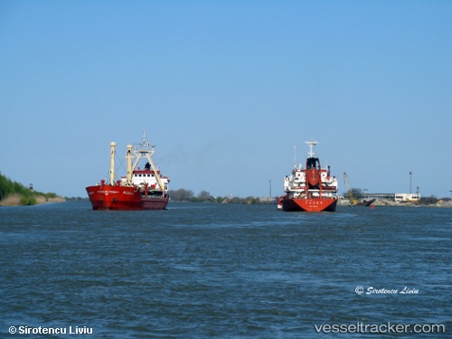
Vessel NIKSAR IMO: 8871003, MMSI: 636023254 Chemical Tanker
UTC, 43.18518, 27.90571, course: 283, speed: 0
UTC, 43.18516, 27.90567, course: 283, speed: 0
2026-03-24 11:42:54 UTC, 43.18519, 27.90568, course: 283, speed: 0
Live Vessel NIKSAR Analytics (details, animations, etc.)
Live AIS position: UTC. Near Varna), updated 2026-03-24 11:42:54 UTC.Find the position of the vessel NIKSAR on the map. The latter are known coordinates and path.
marine traffic ship tracker show on live map
The current position of vessel NIKSAR is 43.18519 lat / 27.90568 lng. Updated: 2026-03-24 11:42:54 UTCCurrently sailing under the flag of Liberia
Details:
Last coordinates of the vessel:
UTC, 43.18520, 27.90569, course: 283, speed: 0UTC, 43.18518, 27.90571, course: 283, speed: 0
UTC, 43.18516, 27.90567, course: 283, speed: 0
2026-03-24 11:42:54 UTC, 43.18519, 27.90568, course: 283, speed: 0