 vesseltracker.com
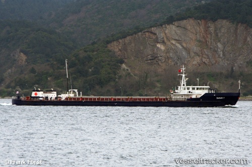
Vessel Nargoon IMO: 8871974, MMSI: 422052500 Multi Purpose Carrier
Live AIS position:
UTC. 11 nm NW of Neka),
updated 2026-01-11 14:04:37 UTC.
Find the position of the vessel Nargoon on the map. The latter are known coordinates and path.
marine traffic ship tracker show on live map
The current position of vessel Nargoon is 36.92074 lat / 53.06801 lng. Updated: 2026-01-11 14:04:37 UTCDetails:
Last coordinates of the vessel:
2026-01-11 14:04:37 UTC, 36.92074, 53.06801, course: 85, speed: 6.7