 vesseltracker.com
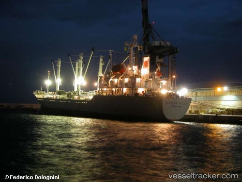
Vessel Sea Trader I IMO: 8919893, MMSI: 352199000 Refrigerated Cargo Ship
UTC, 13.68628, 100.49751, course: 295, speed: 0
UTC, 13.68631, 100.49753, course: 296, speed: 0
2026-02-19 16:27:35 UTC, 13.68632, 100.49752, course: 296, speed: 0
Live AIS position:
UTC. Near Bangkok),
updated 2026-02-19 16:27:35 UTC.
Find the position of the vessel Sea Trader I on the map. The latter are known coordinates and path.
marine traffic ship tracker show on live map
The current position of vessel Sea Trader I is 13.68632 lat / 100.49752 lng. Updated: 2026-02-19 16:27:35 UTCDetails:
Last coordinates of the vessel:
UTC, 13.68625, 100.49748, course: 295, speed: 0UTC, 13.68628, 100.49751, course: 295, speed: 0
UTC, 13.68631, 100.49753, course: 296, speed: 0
2026-02-19 16:27:35 UTC, 13.68632, 100.49752, course: 296, speed: 0
