 vesseltracker.com
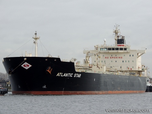
Vessel Atlantic Star IMO: 8972974, MMSI: 362087000 Offshore Tug Supply Ship
UTC, 10.18650, -61.69032, course: -1, speed: 0
UTC, 10.18649, -61.69033, course: -1, speed: 0.1
2026-02-16 19:34:32 UTC, 10.18650, -61.69031, course: -1, speed: 0
Live AIS position:
UTC. Near POINT FORTIN),
updated 2026-02-16 19:34:32 UTC.
Find the position of the vessel Atlantic Star on the map. The latter are known coordinates and path.
marine traffic ship tracker show on live map
The current position of vessel Atlantic Star is 10.18650 lat / -61.69031 lng. Updated: 2026-02-16 19:34:32 UTCDetails:
Last coordinates of the vessel:
UTC, 10.18650, -61.69034, course: -1, speed: 0UTC, 10.18650, -61.69032, course: -1, speed: 0
UTC, 10.18649, -61.69033, course: -1, speed: 0.1
2026-02-16 19:34:32 UTC, 10.18650, -61.69031, course: -1, speed: 0