 vesseltracker.com
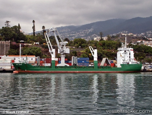
Vessel FATIMA IMO: 9001473, MMSI: 525600580 General Cargo Ship
UTC, -7.20587, 112.72714, course: 147, speed: 0
UTC, -7.20581, 112.72715, course: 148, speed: 0.1
2026-01-28 14:34:53 UTC, -7.11034, 112.65880, course: 355, speed: 9.7
Live AIS position:
UTC. Near GRESIK),
updated 2026-01-28 14:34:53 UTC.
Find the position of the vessel FATIMA on the map. The latter are known coordinates and path.
marine traffic ship tracker show on live map
The current position of vessel FATIMA is -7.11034 lat / 112.65880 lng. Updated: 2026-01-28 14:34:53 UTCCurrently sailing under the flag of Indonesia
FATIMA built in 1992 year
Deadweight:
5314 tDetails:
Last coordinates of the vessel:
UTC, -7.20587, 112.72719, course: 147, speed: 0UTC, -7.20587, 112.72714, course: 147, speed: 0
UTC, -7.20581, 112.72715, course: 148, speed: 0.1
2026-01-28 14:34:53 UTC, -7.11034, 112.65880, course: 355, speed: 9.7